Electronic Charts

  1. 10% off

    Garmin Navionics Vision+ Marine Charts

    $185.99 - $368.99
    $167.39 - $368.99
    1
  2. Garmin BlueChart g3 Vision HD North America Marine Charts

    $309.99 - $397.99
    1
  3. 15% off

    Garmin Navionics+ North America Marine Charts

    $135.99 - $231.99
    $135.99 - $231.99
    0
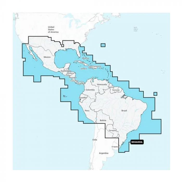
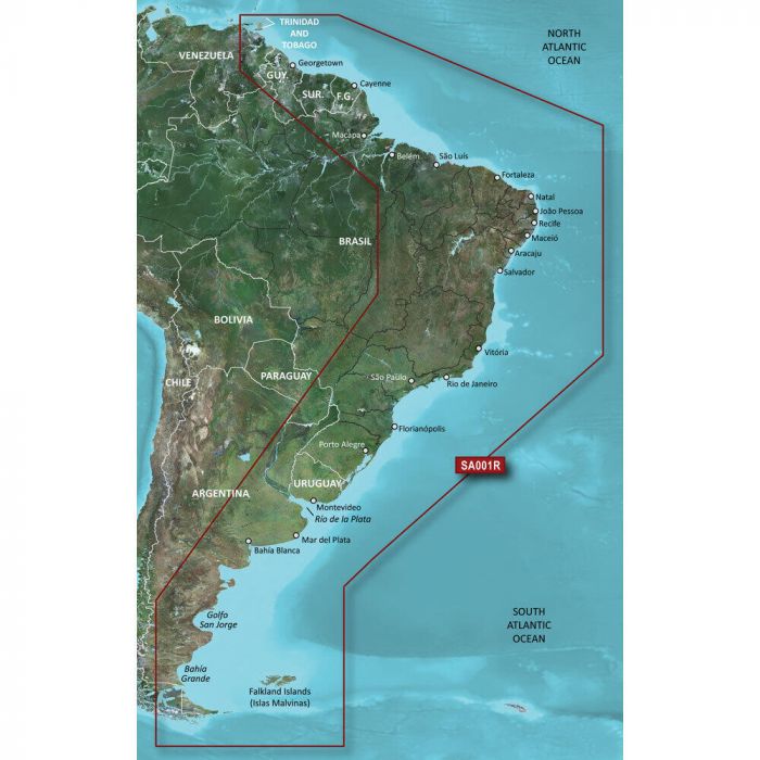
  4. Garmin Navionics Plus South America Marine Charts

    $178.99 - $185.99
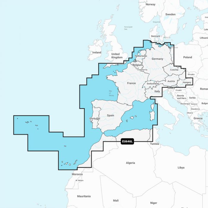
  5. Garmin Navionics Plus Europe Marine Charts

    $149.99 - $231.99
  6. Garmin Navionics Vision+ Chart Updates

    $142.99 - $188.99
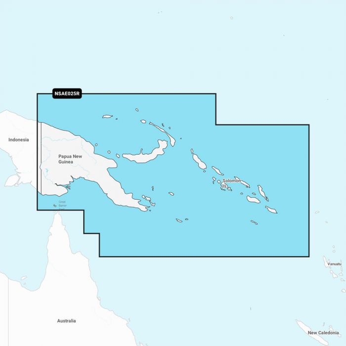
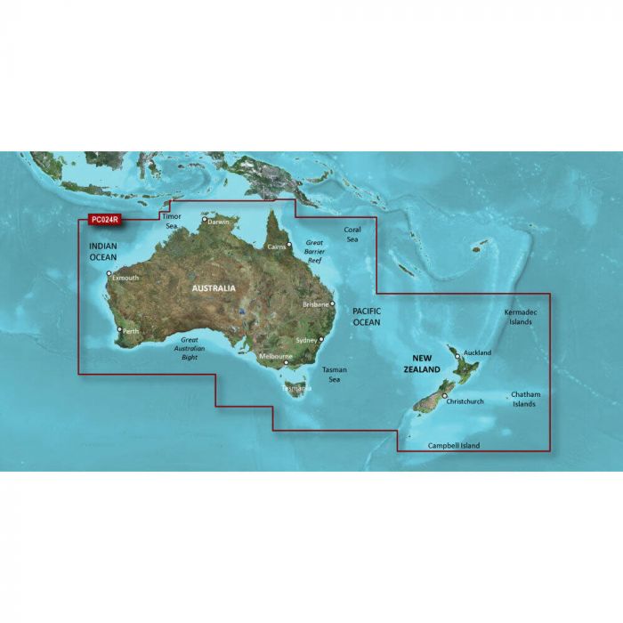
  7. Garmin Navionics Plus Oceania Marine Charts

    $121.99 - $222.99
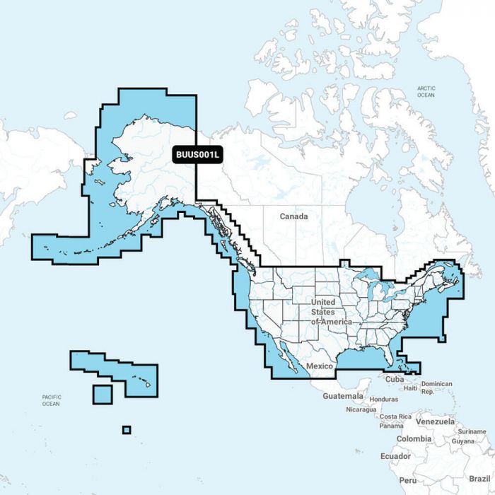
  8. Garmin LakeVu g3 Ultra Marine Charts

    $137.99 - $178.99
    0
  9. Garmin BlueChart g3 Chart Updates

    $114.99 - $123.99
    1
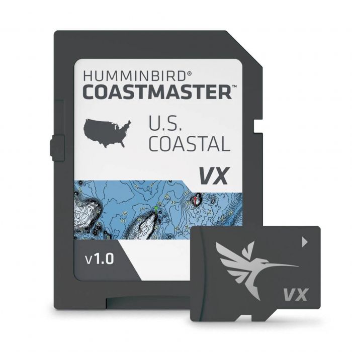
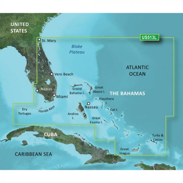
  10. Humminbird Coastmaster U.S.V1 Coast Chart - 601015-1

    $149.99
    0
  11. 5% off

    Garmin Navionics+ Australia Marine Charts

    $222.99
    $211.84 - $222.99
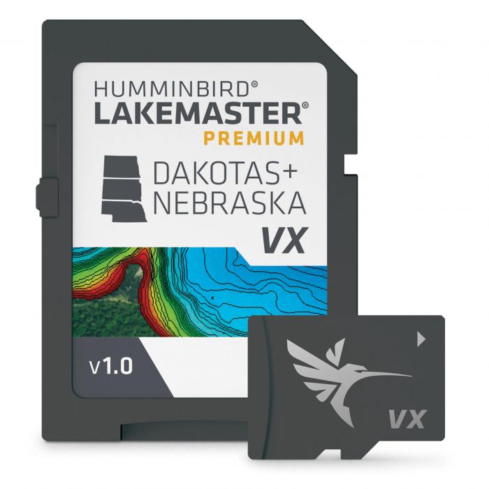
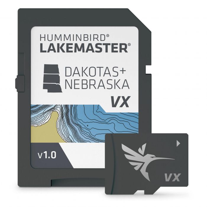
  12. Humminbird LakeMaster Premium Chart

    $199.99 - $249.99
    0
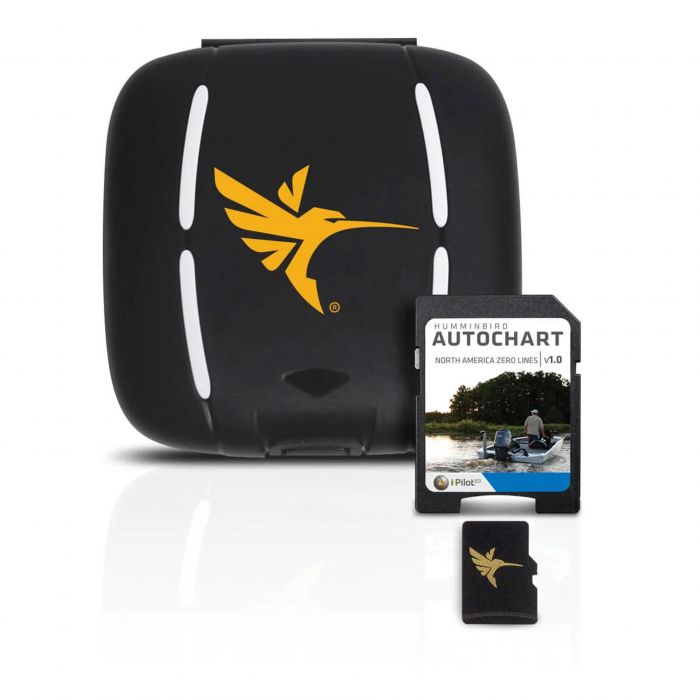
  13. Humminbird AutoChart Zero Line SD Card - North America - 600033-1

    $85.99
    0
  14. Garmin BlueChart g3 HD North America Marine Charts

    $134.99 - $195.99
    0
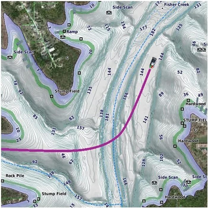
  15. Humminbird LakeMaster Chart

    $111.99 - $129.99
    0
  16. Garmin Canada LakeVu g3 Ultra Canada Inland Maps - 010-C1114-00

    $178.99
  17. Garmin BlueChart g3 Vision HD Asia Marine Charts

    $164.99
  18. 10% off

    Garmin BlueChart g3 Vision HD South America Marine Charts

    $311.99
    $280.79
  19. Garmin BlueChart g3 HD Australia Marine Charts

    $258.99
  20. 15% off

    Garmin BlueChart g3 HD South America Marine Charts

    $139.99 - $195.99
    $139.99 - $166.59
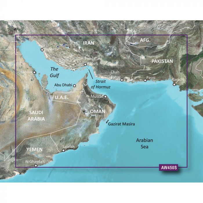
  21. Garmin Navionics Plus Asia Marine Charts

    $139.99 - $185.99
  22. 10% off

    Garmin Navionics Plus Africa Marine Charts

    $149.99 - $231.99
    $134.99 - $231.99
  23. Garmin Navionics Plus Australia Marine Charts

    $121.99
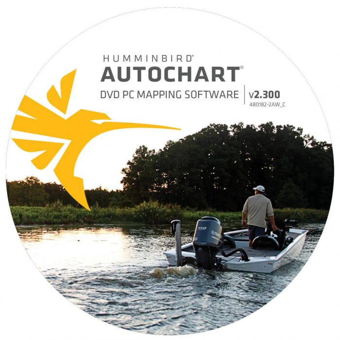
  24. Humminbird AutoChart PC North America - 600031-1

    $165.99
    0
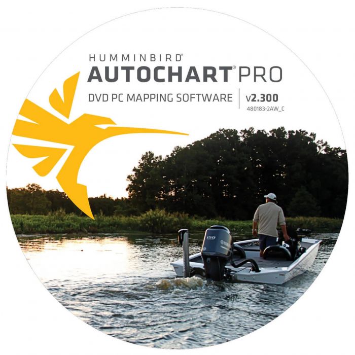
  25. Humminbird AutoChart PC Pro Mapping Software - North America - 600032-1

    $204.99
    0
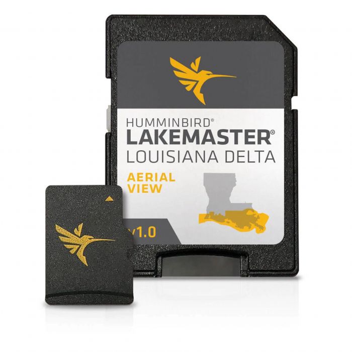
  26. Humminbird LakeMaster Louisiana Delta Aerial View V1 Chart - 600050-1

    $149.99
    0
  27. Garmin Navionics+ South America Marine Charts

    $140.99 - $149.99
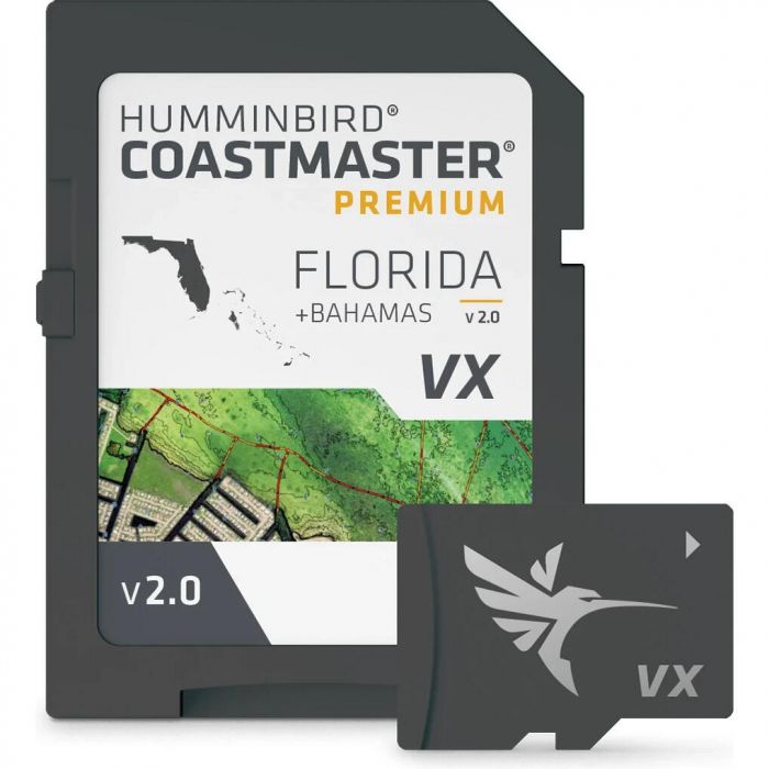
  28. Humminbird CoastMaster Premium Florida V2 with Bahamas Coast Chart - 602014-2

    $599.99
  29. Humminbird CoastMaster Premium Northeast Coastal V1 Coast Chart - 602024-1

    $299.99

About Electronic Charts

Electronic Marine Charts

Navigational electronic charts offer all the information of traditional paper charts plus some really cool features only computers can provide. Chart overlay to enable plotting, GPS interface for real-time positioning, and bathymetric charts to follow the bottom are all optional features of electronic marine charts and electronic navigational charts.

From here to everywhere - electronic marine charts show you the way!

Just like paper charts, electronic marine charts show all the features of ocean and lake coastlines including towns, buoys, and lighthouses. Offshore, navigational harbor channels are shown complete with all markers as well as high and low water data. Out on the fishing grounds, the bottom structure can be overlayed by chart plotter systems and positioning pinpoints fish marks and strikes. And when it comes to getting there, navigational marine electronics charts offer tons of data on how to get as far away as Easter Island, beyond, and back!

Just add tech!

With a click of a button or double-tap on a touch screen, electronic marine charts offer a wealth of information on just about any marker on the chart. Soundings can be changed from meters to feet to fathoms, while the chart scale is adjustable with standard zoom features. Imagine double-clicking navigational dangers or ocean buoys for all the history, weather data, and currents. Just add tech and those paper charts come alive!

Electronic charts are so great but what's the catch?

Well, there's the power source for one! Electronic charts, as good as they are, can sometimes be at odds with the very technology that makes them so much more advanced than paper. Then there are the simple issues - charts are generally hardware-specific although there are a few stand-alone chart packages, zooms are great for up-close examination of electronic charts but over zooming can produce faulty data and electronic navigational charts can be pricey.