

Garmin
Garmin LakeVu g3 Ultra Marine Charts
Item: #1000694 | Part Number: Not Selected$137.99 - $178.99


Description
Garmin LakeVu g3 Ultra Marine Charts deliver unmatched inland water detail with integrated Garmin and Navionics data, high-resolution relief shading, and Auto Guidance technology. Designed for serious anglers and boaters, they provide clear, confident navigation and a deeper understanding of underwater structure.
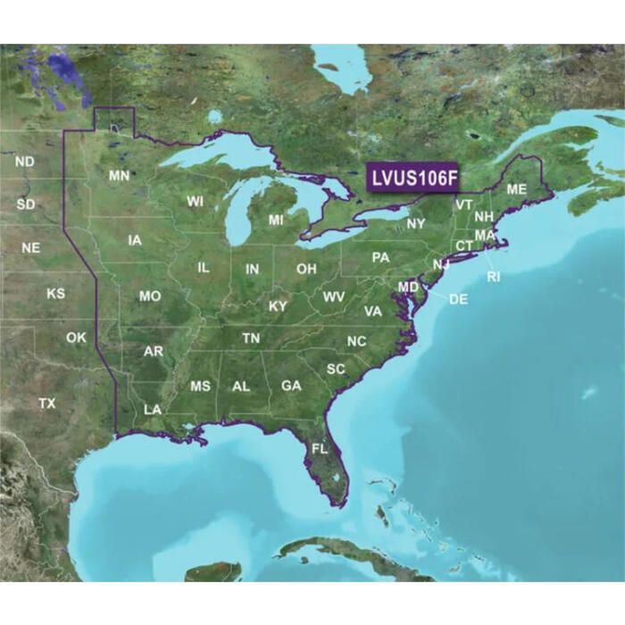
Garmin LakeVu g3 Ultra Marine Charts Item # 1000694
Description
Experience unparalleled coverage and brilliant detail on the water. LakeVu g3 Ultra inland water maps provide exceptional coverage, clarity and detail with integrated Garmin and Navionics data, Auto Guidance technology and high-resolution relief shading.
Features:
- Provides exceptional coverage, clarity and detail with inland maps that feature integrated Garmin and Navionics® data
- Auto Guidance technology uses your desired depth and overhead clearance to calculate routes and show a suggested path to follow
- High-resolution relief shading combines color and shadow to give you an easy-to-interpret, clearer view of bottom structure than contour lines alone
- Sonar imagery shows bottom hardness in vivid color so you can easily identify transition areas on 115 U.S. lakes
- East card (010-C1204-00) covers more than 15,000 HD lakes with up to 1' contours and more than 100 Garmin Elite survey lakes
- West card (010-C1205-00) covers more than 7,000 HD lakes with up to 1' contours, and more than 80 Garmin Elite survey lakes
- Inland card (010-C1087-00) covers more than 18,000 lakes with up to 1' contours, and more than 160 Garmin Elite survey lakes
Part Numbers for Garmin LakeVu g3 Ultra Marine Charts
Reviews
Questions
does Garmin LakeVu G3 ultra marine charts include Lake Champlain (NY and VT)?
Yes those lakes are included
Date published: 2024-07-22