

Garmin
Garmin Navionics Plus Europe Marine Charts
Item: #1010325 | Part Number: Not Selected$103.99 - $231.99


Description
Garmin Navionics Plus Europe Marine Charts bring vibrant, detailed mapping to your chartplotter with a clean, intuitive interface. Combining coastal and inland data, they offer advanced features like Auto Guidance+, high-resolution depth shading, and community-sourced updates for confident navigation and improved fishing.
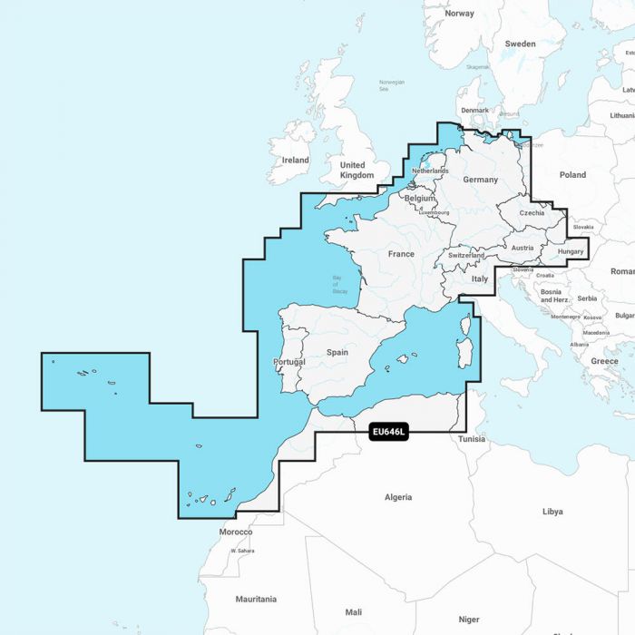
Garmin Navionics Plus Europe Marine Charts Item # 1010325
Description
Garmin's Navionics+ Europe Marine Charts will give a whole new look to your chartplotter. Featuring vibrant colors, a streamlined interface and combined coastal/inland content with a popular Navionics® style color palette, these charts make it easy to plot your course with the world's No. 1 name in marine mapping.
Features:
- Built-in Auto Guidance+ technology gives you a suggested dock-to-dock path to follow through channels, inlets, marina entrances and more
- High-resolution depth range shading lets you select up to 10 color-shaded options and view your designated target depths at a glance
- For improved fishing and navigation, up to 1' contours provide a clear depiction of bottom structure for improved fishing charts and enhanced detail in swamps, canals, harbors, marinas and more
- Shallow water shading gives a clear picture of shallow waters to avoid, this feature allows for shading at a user-defined depth
- Community-sourced content provides useful POIs, such as marinas, anchorages, hazards, businesses and more. Get recommendations from boaters with firsthand experience of the local environment
- Relief shading combines color and shadow to give you an easy-to-interpret, clearer view of bottom structure than contour lines alone
- Downloadable sonar imagery feature reveals bottom hardness clearly and in contrasting color, highlighting both subtle and dramatic transition areas on select U.S. lakes
- High-resolution satellite imagery provides superior situational awareness
- Crystal-clear aerial and surface photos of ports, marinas, bridges, docks, boat ramps, dams and navigational landmarks provide a better sense of your surroundings above the waterline
- Side-scan images capture submerged features such as fallen timber, fish attractors, wrecks, potential hazards and more on select U.S. lakes
- 3D Fisheye View shows 3D representation of bottom and contours as seen from below the waterline
- 3D Marinereye view provides a 3D representation of the surrounding area both above and below the waterline
- Adjust your maps to the lake's current water levels to see if spots are accessible or too shallow to explore
- Charts are constantly being enhanced with new and amended content - as many as 5,000 updates are made every day
- SD card format - simply plug in the pre-programmed SD card and start navigating
Note: To view and use the maps on this card, you must have a device with a microSD/SD card slot