

Humminbird
Humminbird LakeMaster Louisiana Delta Aerial View V1 Chart - 600050-1
Item: #961393 | Part Number: 600050-1$149.99


Description
The Humminbird LakeMaster Louisiana Delta Aerial View V1 Chart 600050-1 brings high-resolution aerial photography to your fish finder, revealing the Louisiana Delta like never before. See real-life views of shorelines, waterways, landmarks, and hidden features overlaid on navigation charts for confident, informed navigation and fishing.
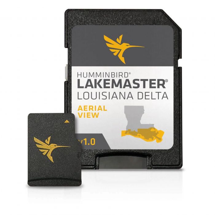
Humminbird LakeMaster Louisiana Delta Aerial View V1 Chart - 600050-1 Item # 961393
Description
Humminbird LakeMaster now offers high resolution aerial photography of the Louisiana Delta on one micro card (with SD adaptor).
Features:
- View all the hidden features of the Louisiana Delta with real life aerial views of shorelines, waterways, landmarks, obstructions, roads, marinas, canals, and channels
- Also includes nav aids, lake names, points of interest and more
- Can overlay on top of other navigation charts such as Humminbird Basemap on applicable GPS-equipped Humminbird fish finders