


How to Choose a Boat GPS Receiver
A marine GPS receiver helps you pinpoint position, build routes, and navigate confidently. The best choice depends on how you boat, your helm layout, and future integration needs rather than sheer feature count.
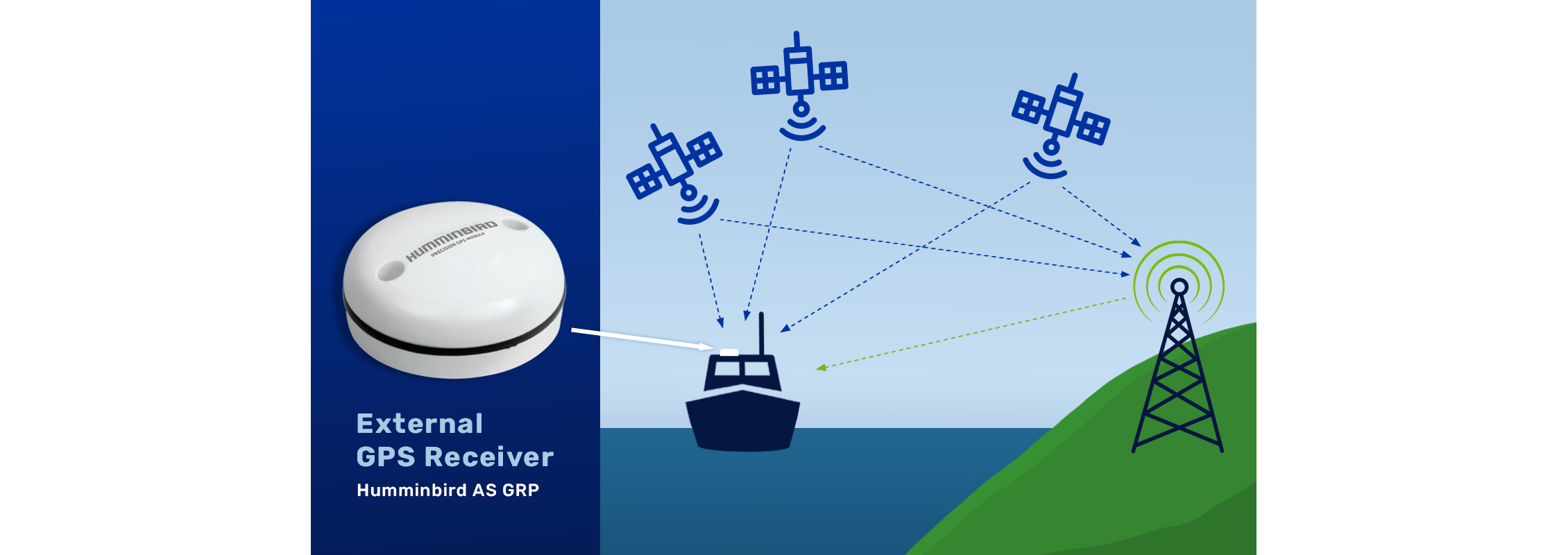
How a GPS Receiver Works
| Navigation Option | Best Use Case | Key Strengths | Limitations | Recommended For |
| Dedicated Marine GPS Receiver | Simple helm setups, backup navigation, handheld use | Highly accurate position and speed data, reliable satellite reception, purpose-built for marine environments | Limited or no charting and route planning compared to chartplotters | Dinghies, kayaks, small boats, backup GPS users, and boaters who want simple, reliable navigation |
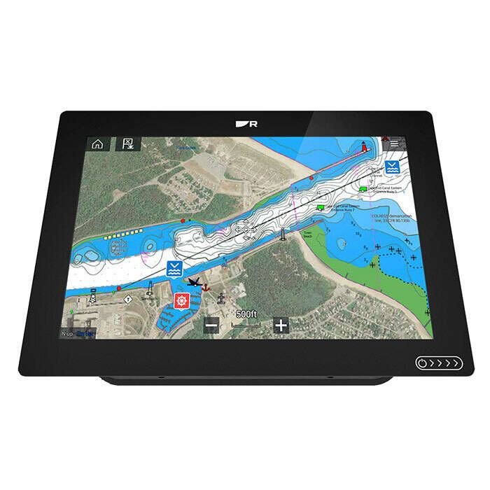
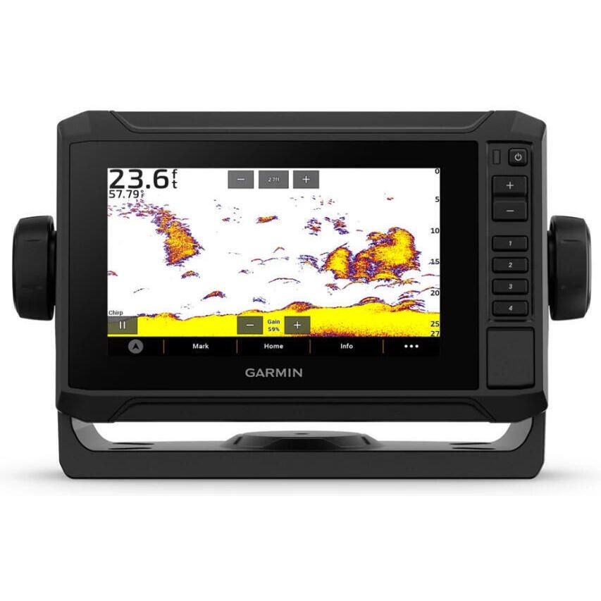
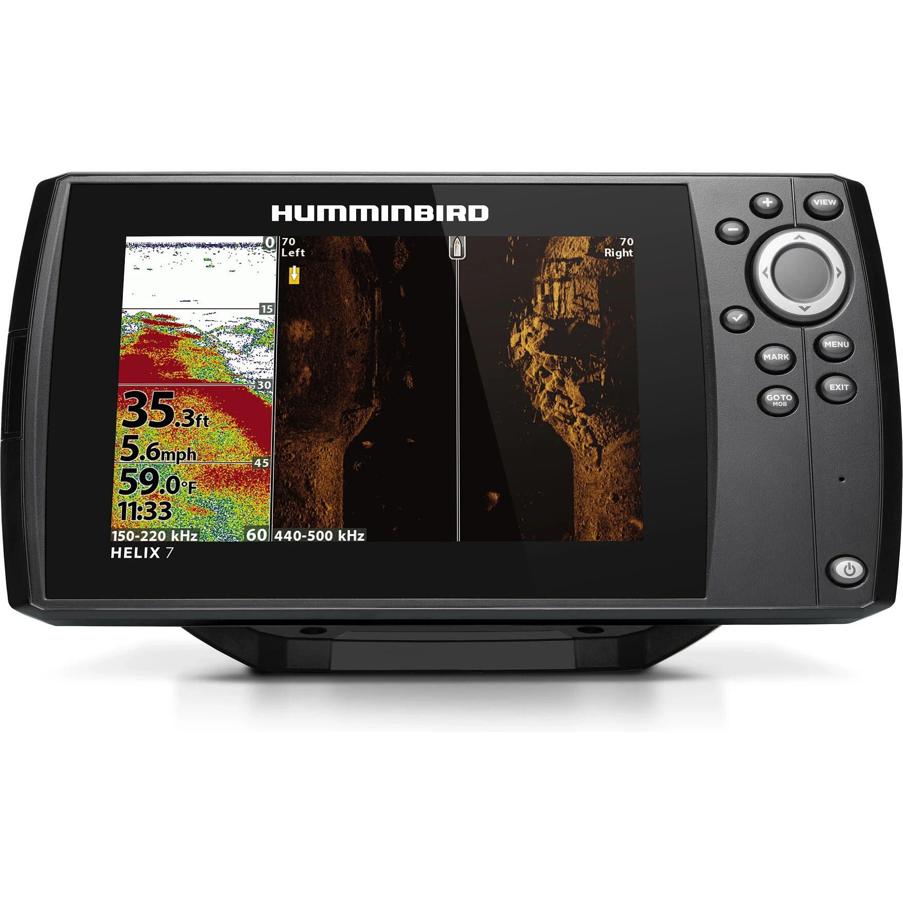
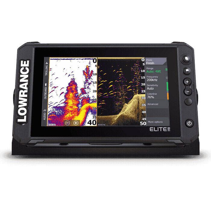
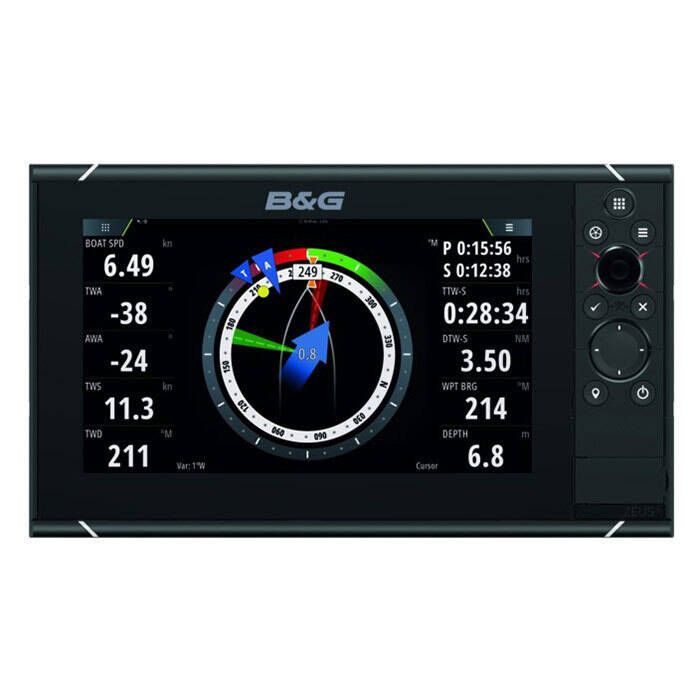
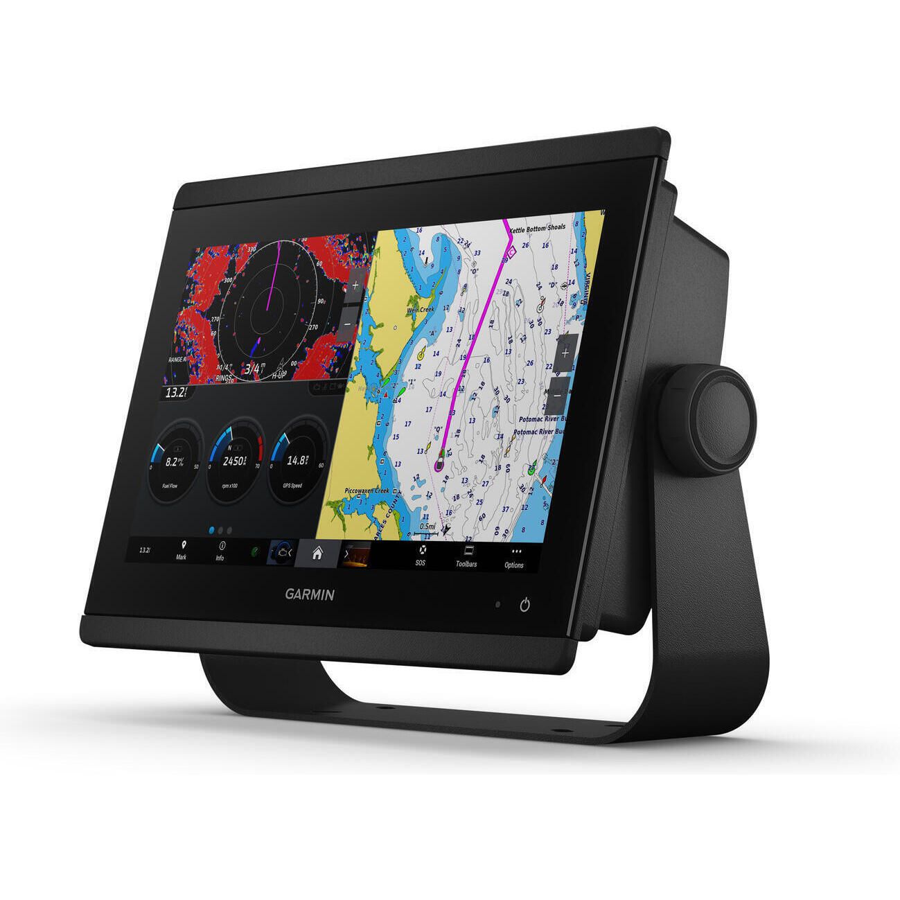
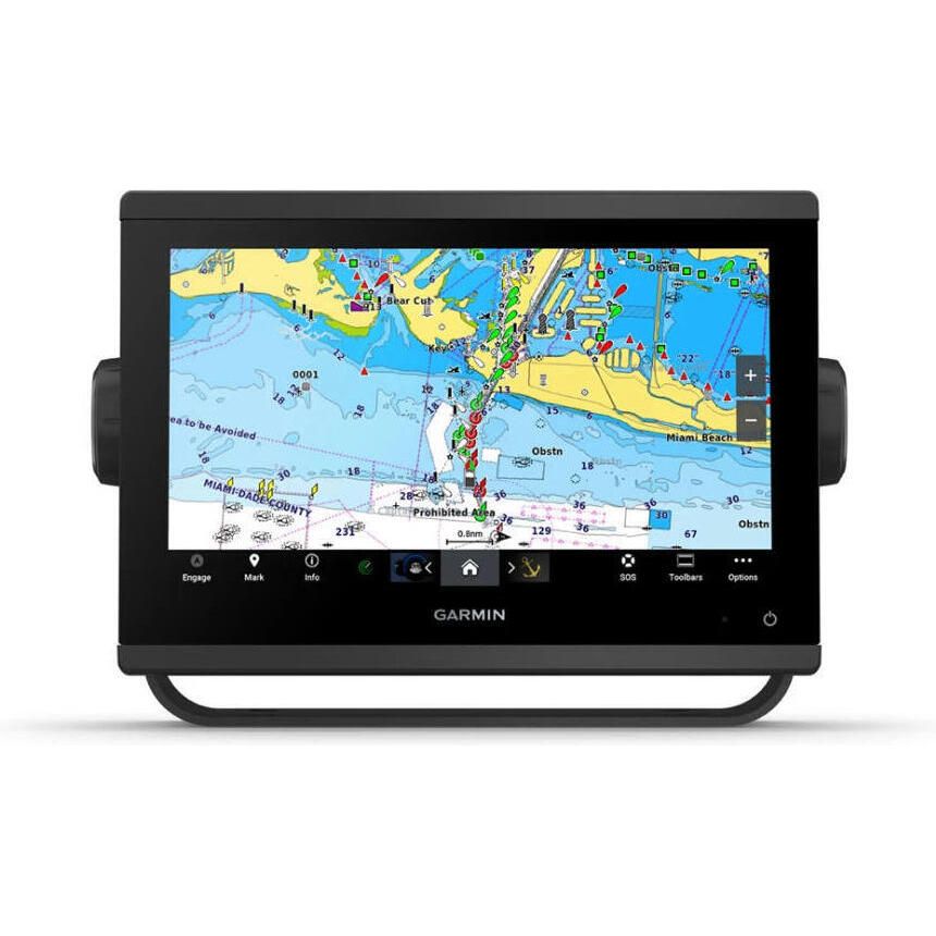
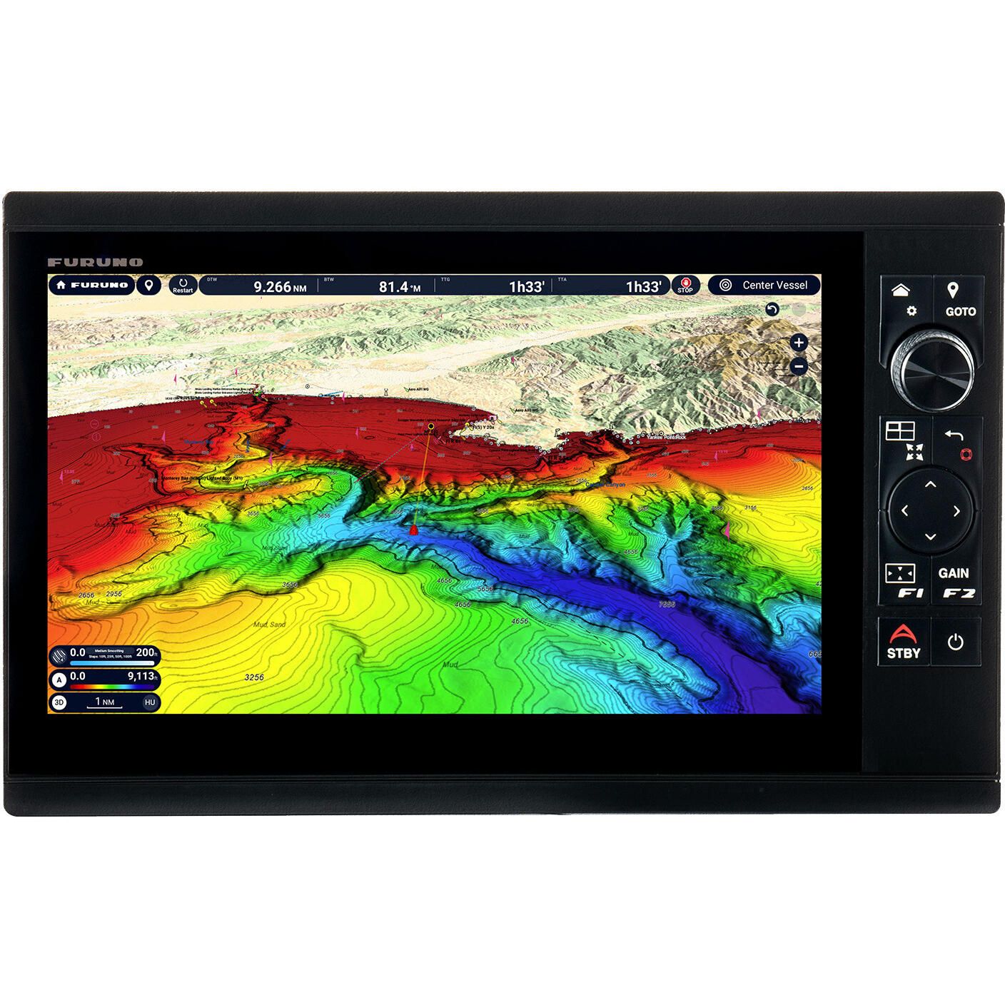
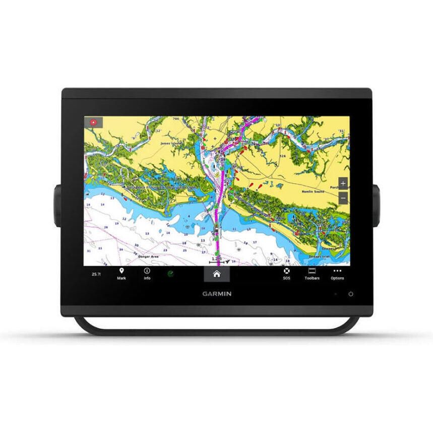
| GPS / Chartplotter Combo | Primary helm navigation on most boats | Full chart display, route planning, waypoint management, and integration with radar, sonar, AIS, and autopilot | Higher cost and more complex installation | Powerboats, sailboats, anglers, cruisers, and boaters building an integrated electronics system |
| Smartphone & Tablet GPS Apps | Near-shore navigation and casual use | Convenient, low cost, and familiar interface | Battery drain, overheating, water exposure, insecure mounting, and limited offshore reliability | Day boaters, inland or coastal cruising close to shore, and short trips with a dedicated marine GPS as backup |
| Type | Best For | Key Pros | Trade-offs | What to Look For |
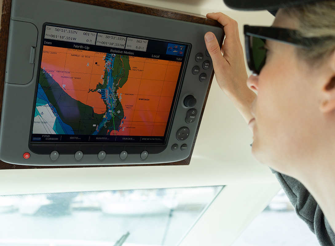
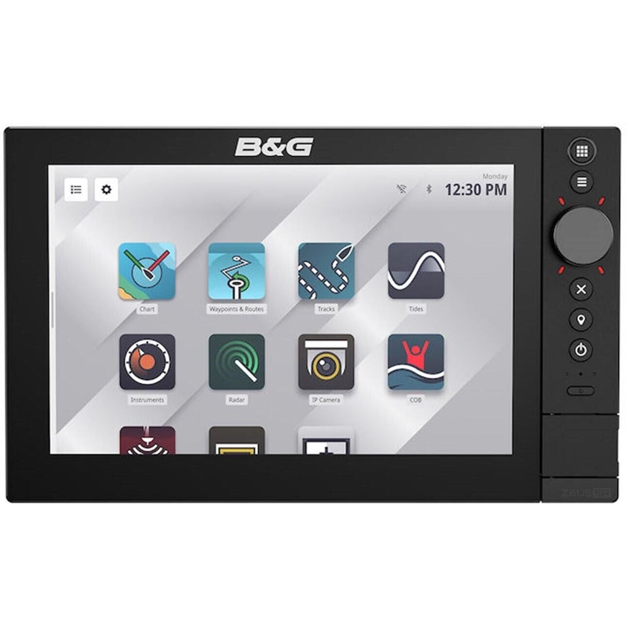
| Fixed-mount GPS Unit | Primary helm navigation on powerboats, sailboats, and cruisers | Larger screen, permanent power, external antenna support, easier system integration | Requires dedicated helm space and wiring | Sunlight-readable display, NMEA compatibility, and external antenna support |
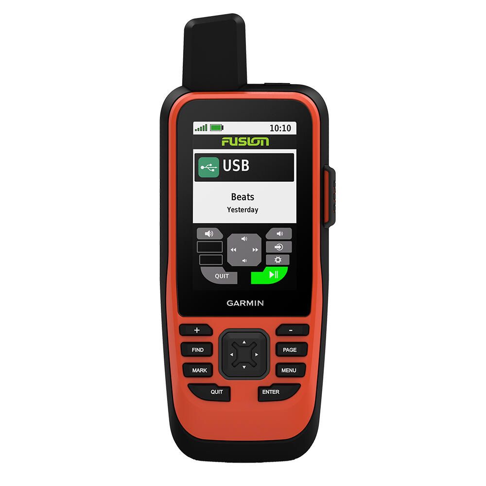
| Handheld Marine GPS | Backup navigation, dinghies, kayaks, and small boats | Portable, battery-powered, excellent redundancy | Smaller screen and fewer integration options | Waterproof rating, battery life, floatation, ergonomics, and waypoint features |
| GPS-only vs GPS + Chartplotter Combo | Simple navigation versus full charting at the helm | GPS-only units are simpler; combos add charts, routing, and integrations | GPS-only can feel limited; combos cost more | Chart support, screen size, and integration needs (VHF, AIS, autopilot) |

| Common Mistake | Why It’s a Problem | What to Do Instead |
| Overbuying features you won’t use | Advanced networking, oversized screens, and premium chart packages add cost without improving real-world navigation for simple setups | Choose features that match how and where you actually boat, not just what looks impressive on paper |
| Ignoring antenna needs | Internal antennas can struggle in enclosed helms or near metal structures, leading to inconsistent position accuracy | Use an external GPS antenna when mounting inside cabins, hardtops, or metal enclosures |
| Relying solely on phone apps | Phones and tablets are vulnerable to water, overheating, battery drain, and limited offshore reliability | Use mobile apps as a backup, not a replacement for a dedicated marine GPS |
| Not planning for future expansion | Non-networked units can limit or complicate future upgrades to VHF, AIS, radar, or autopilot systems | Select a GPS that supports common marine networking standards to allow easy system expansion |
| Accessory | What It Does | Why It Matters | Recommended Products |
| External GPS antennas | Improves satellite reception by placing the antenna where it has a clearer view of the sky | More consistent accuracy on boats with enclosed helms, metal structures, or below-deck installs | GPS Antennas (external pucks, pole/rail-mount options), antenna mounts (rail, pole, deck), antenna extension cables |
| Mounts and brackets | Secures the GPS at the helm and allows angle and position adjustment | Better visibility, safer helm ergonomics, reduced glare, and a more secure install underway | GPS mounting brackets, RAM mounts, dash/console mount kits, flush-mount kits |
| Protective covers | Shields the display when not in use | Helps prevent UV fade, salt spray residue, scratches, and weather wear | Sun covers, screen protectors, protective cases (for handheld units) |
| Networking cables | Connects the GPS to other marine electronics for data and position sharing | Enables integration with AIS, VHF DSC position, and future expansion without rewiring later | Marine networking cables (NMEA 2000 drop/backbone), NMEA 2000 starter kits, T-connectors and terminators, power nodes, NMEA 0183 wiring and connectors |