


Electronic Charts
-
Navionics + Electronic Marine Charts
$92.99 - $149.99 -
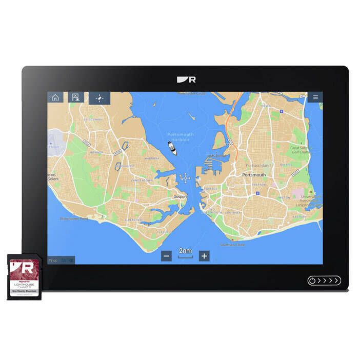
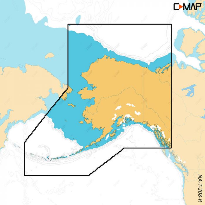
Raymarine LightHouse North America Chart - R70794
$159.99 -
Navionics Platinum+ Electronic Marine Charts
$136.99 - $278.99 -
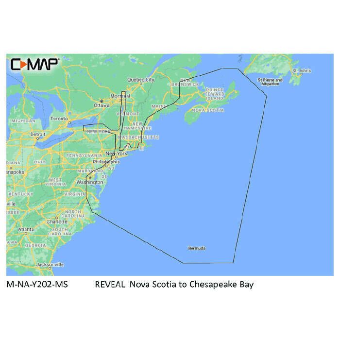
C-Map Reveal Coastal Chart
$260.00 -

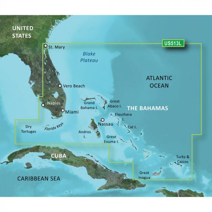
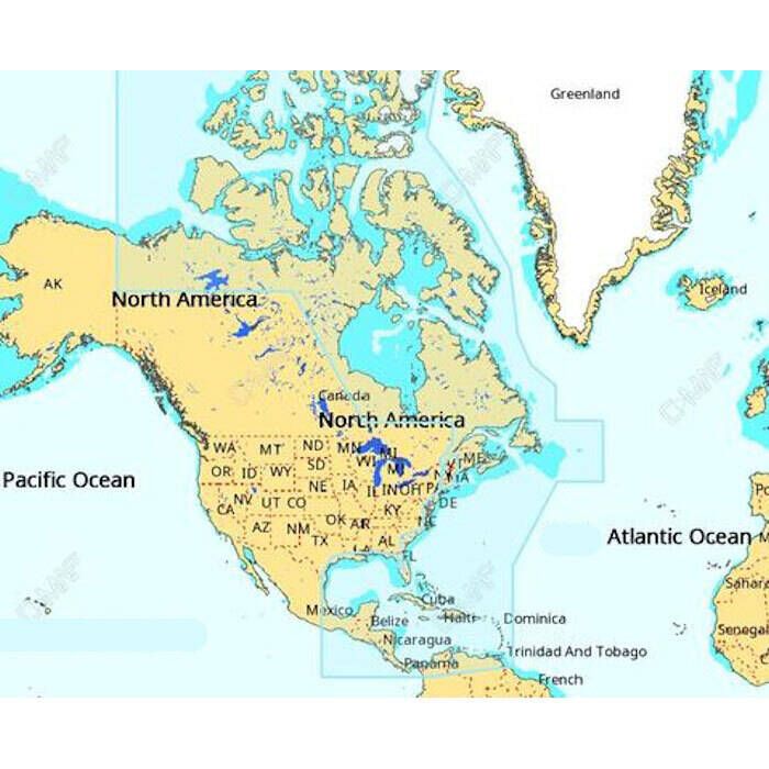
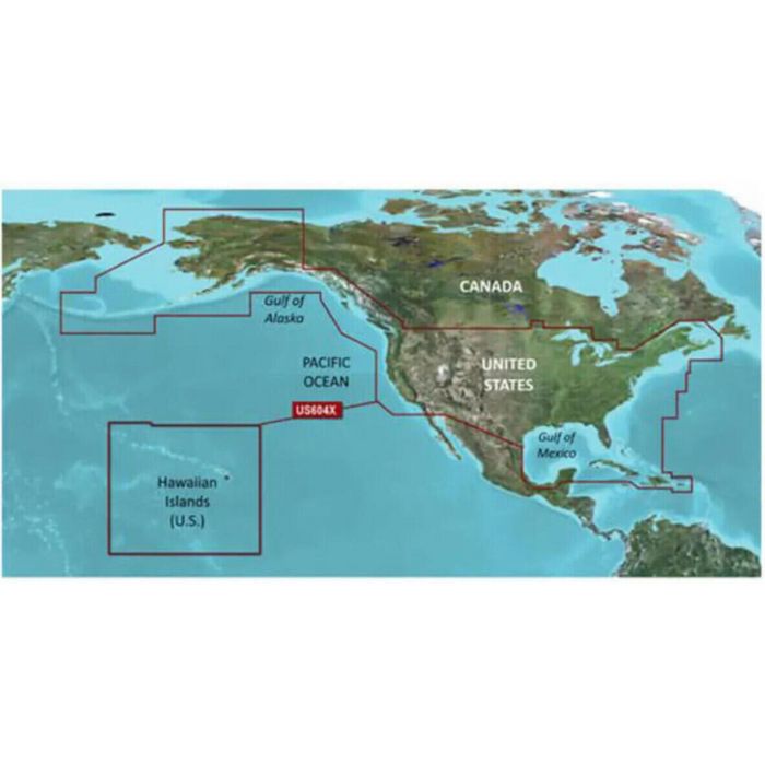
Garmin Navionics+ North America Marine Charts
$91.99 - $185.99 -
Garmin BlueChart g3 Vision HD North America Marine Charts
$309.99 - $397.99 -
 Up to 5% off
Garmin Navionics Vision+ Marine Charts
$94.99 - $276.99 -
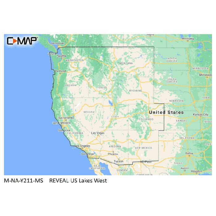
C-Map Reveal Lake Chart
$199.00 -
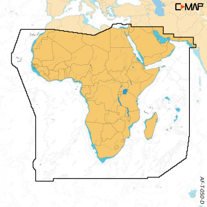
C-Map Discover X Electronic Navigation Chart
$156.00 -
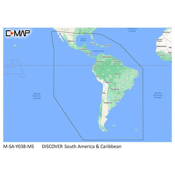
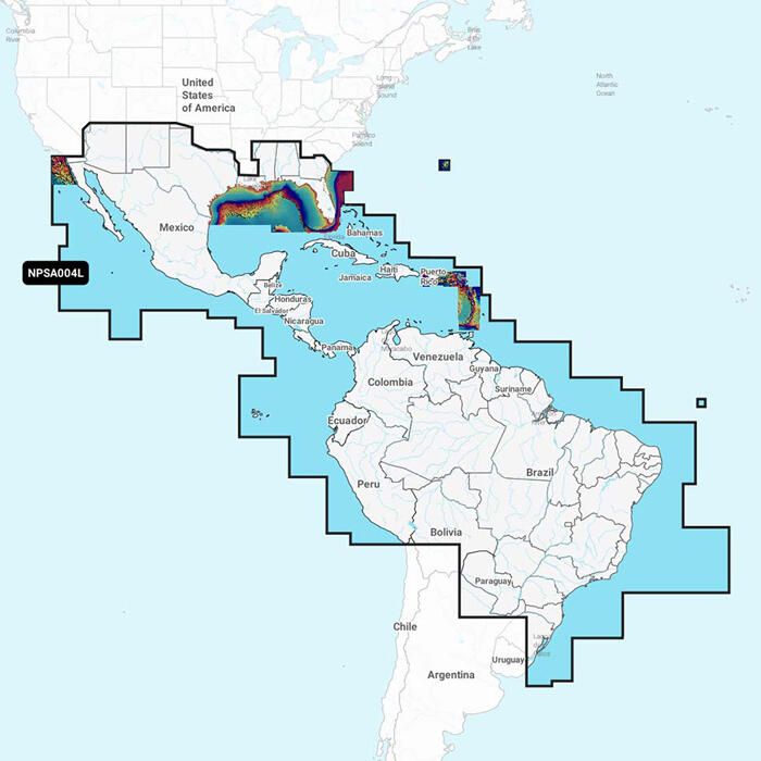
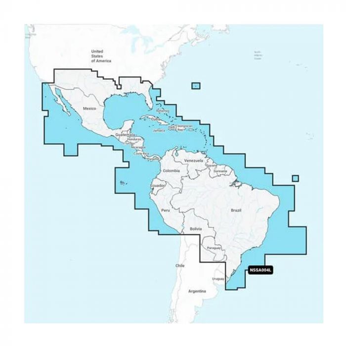
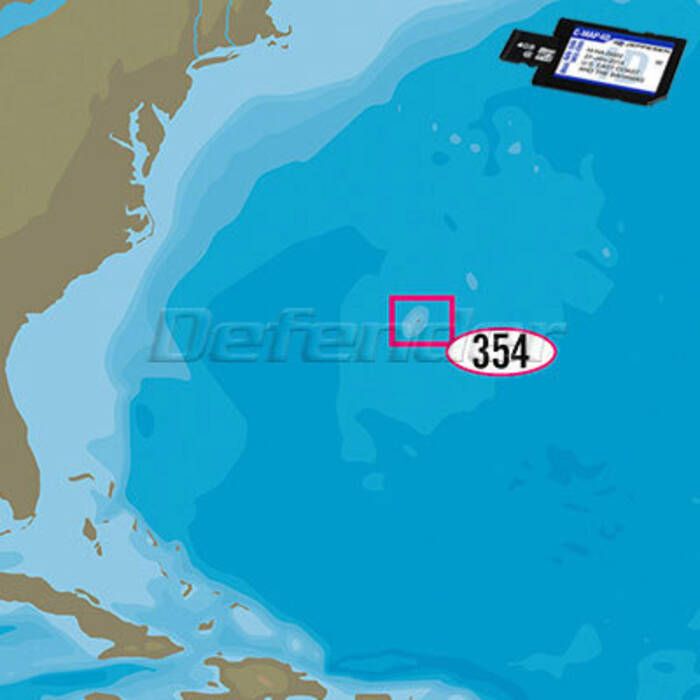
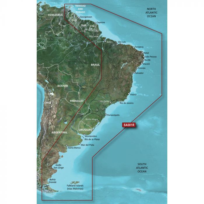
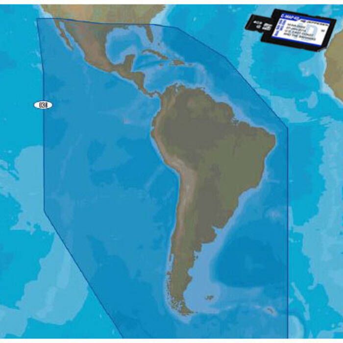
C-Map Discover South America & Caribbean Chart - M-SA-Y038-MS
$159.00 -
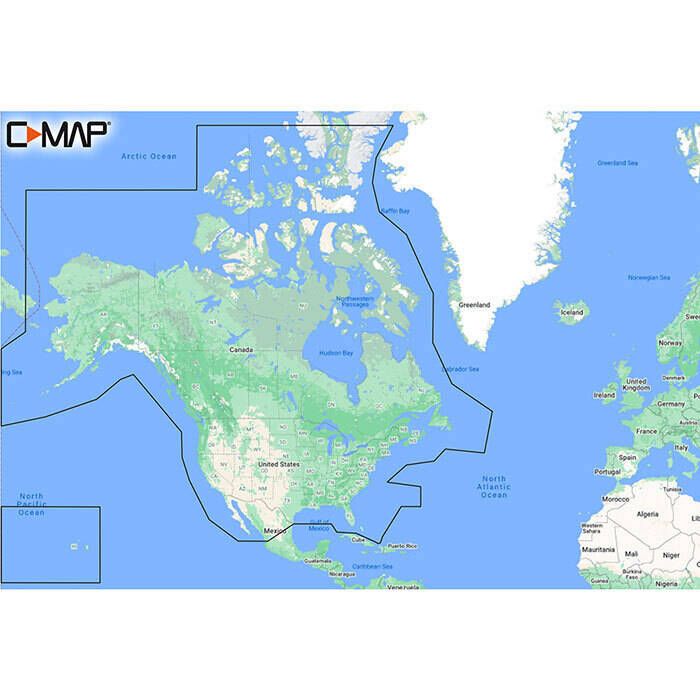
C-Map Discover Charts - North America: USA/Canada - M-NA-Y200-MS
$159.00 -
C-Map 4D MAX+ Electronic Chart
$353.00 -
C-Map Reveal X Electronic Navigation Chart
$260.00 -
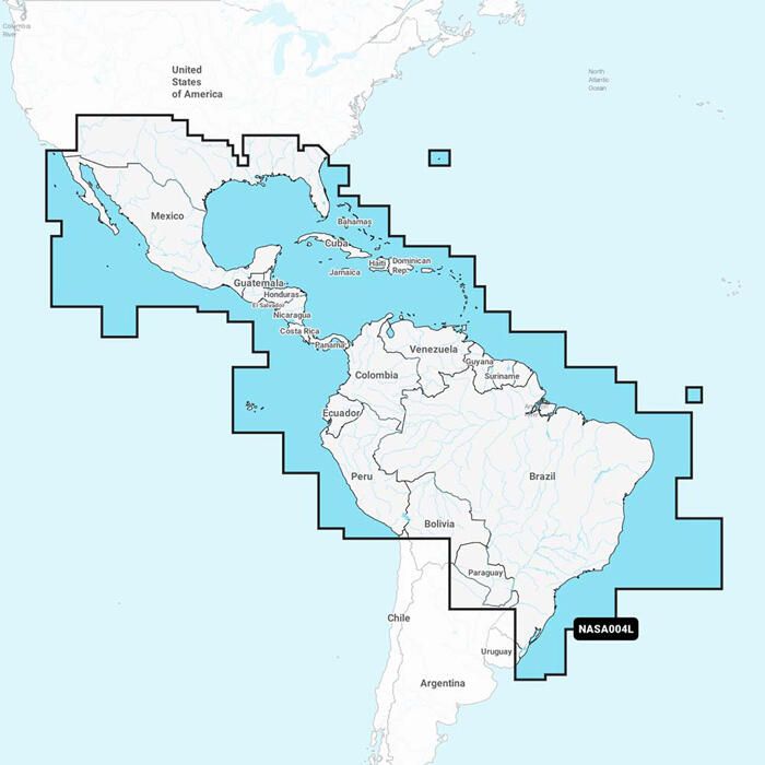
Garmin Navionics Plus South America Marine Charts
$139.99 - $178.99 -

C-Map Reveal X US Lakes Electronic Navigation Chart
$199.00 -
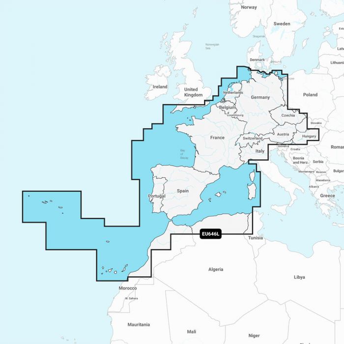
Garmin Navionics Plus Europe Marine Charts
$103.99 - $231.99 -
C-Map 4D MAX+ Electronic Continental Chart
$187.00 -
Garmin Navionics Vision+ Chart Updates
$142.99 -
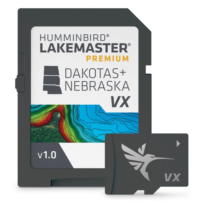
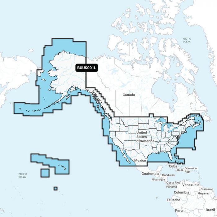
Humminbird LakeMaster Premium Chart
$199.99 - $249.99 -
 Up to 21% off
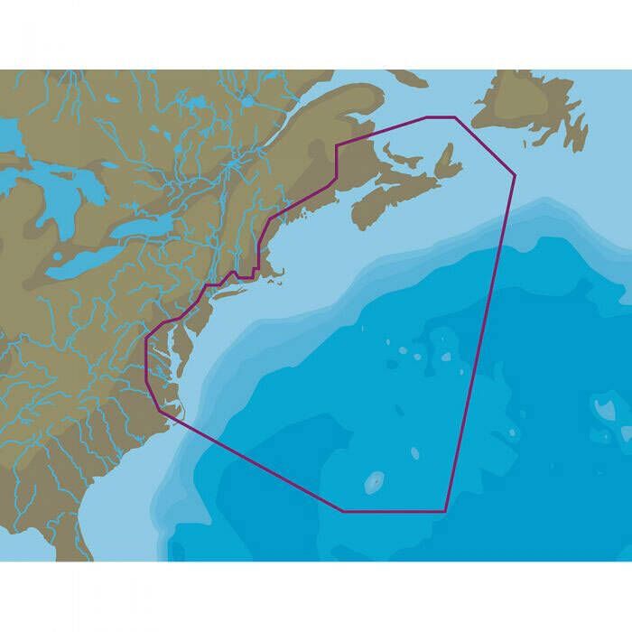
C-Map 4D MAX+ Local Electronic Navigation Chart - East North America & Bermuda
$161.99 - $207.00 -
Garmin BlueChart g3 Chart Updates
$114.99 - $123.99 -
 Up to 5% off
Garmin Navionics+ Australia Marine Charts
$176.99 - $211.84 -

C-Map Reveal X Canada Lakes Electronic Navigation Chart
$199.00 -
 10% off
Garmin BlueChart g3 Vision HD South America Marine Charts
$280.79 -
Garmin BlueChart g3 HD South America Marine Charts
$139.99 - $195.99 -

Garmin Navionics Plus Africa Marine Charts
$103.99 - $185.99 -
 22% off
C-Map 4D Continental Electronic Navigation Chart
$145.79 -
 Up to 22% off
C-Map MAX 4D Lake Insight HD Electronic Navigation Charts
$144.49 - $187.00