

Navionics
Navionics Platinum+ Electronic Marine Charts
Item: #932725 | Part Number: Not Selected$136.99 - $278.99


Description
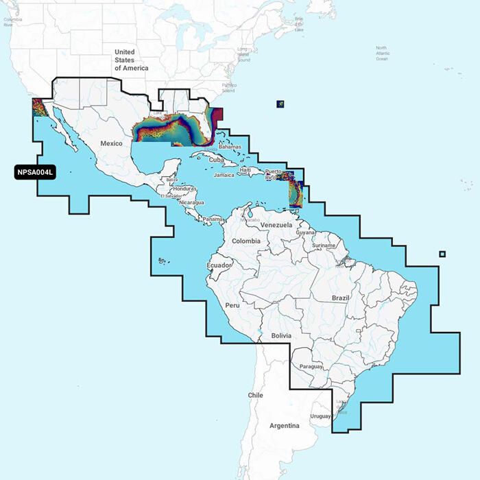
The Navionics Platinum+ Electronic Marine Chart delivers the most advanced multi-dimensional navigation for serious boaters. Built on Navionics+ cartography, it combines detailed offshore and inland mapping with relief shading, satellite imagery, 3D views, and real-time SonarChart™ Live mapping for confident navigation above and below the waterline.
Navionics Platinum+ Electronic Marine Charts Item # 932725
Description
This Navionics® Platinum+ Electronic Marine Chart delivers the most advanced multi-dimensional charts. Based off of Navionics+ cartography, this electronic chart offers integrated offshore and inland mapping, as well as additional viewing options for relief shading, satellite imagery with SonarChart shading overlay, 3D perspective view and aerial photos.
Features:
- Comprehensive nautical charts derived from multiple official, government and private sources, displayed in a familiar look and feel
- Detail-rich mappings of the coastal waters, lakes and rivers
- SonarChart™ Live mapping allows boaters to create new personal 1' HD bathymetric charts that display in real time on the screens of their compatible plotters while navigating
- Relief shading provides easy-to-interpret, clearer views of bottom structure
- Experience an enhanced awareness above and below the waterline with satellite imagery with SonarChart shading overlay
- View bottom hardness clearly and in contrasting colors
- Adjust the perspective of your chart view to highlight key features and enhance awareness
- Dock-to-dock route guidance lets you start your trip with a suggested path
- Transfer routes and markers, update chart layers and more between your compatible chartplotter and the Boating app
- Receive useful local knowledge from edits made by users of the Navionics Boating app on your compatible smart device
- Constantly updated with new and amended content from official hydrographic sources, public and private surveys, and millions of contributions from boaters
- One-year subscription to Daily Updates and advanced features is included with purchase - after a year, you can renew at a discounted price
Specifications:
- Media: MicroSD card with SD card adapter