Electronic Charts

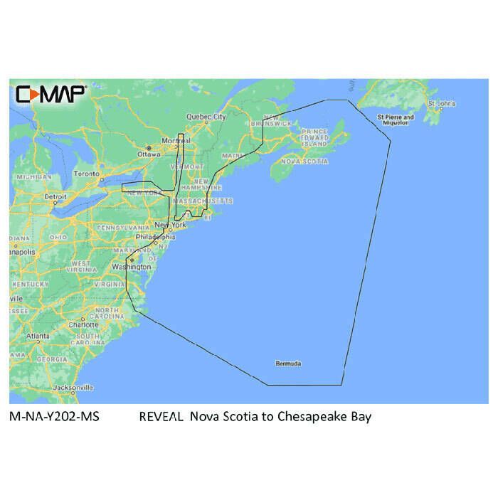
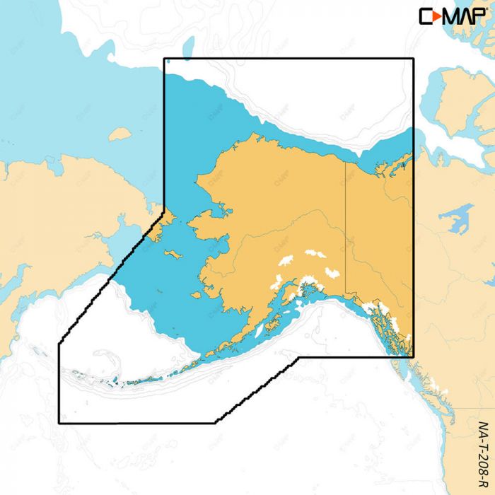
  1. C-Map Reveal Coastal Chart

    $260.00
    1
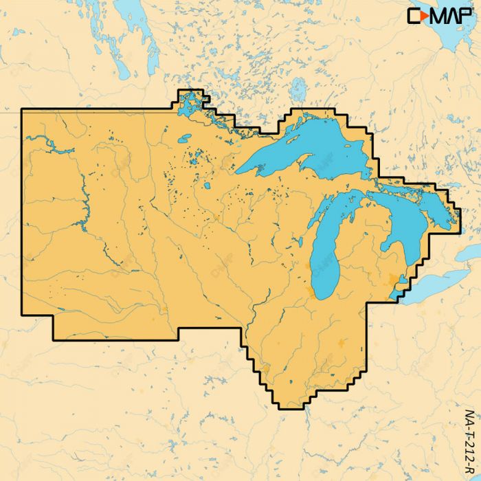
  2. C-Map Reveal Lake Chart

    $179.00
    1
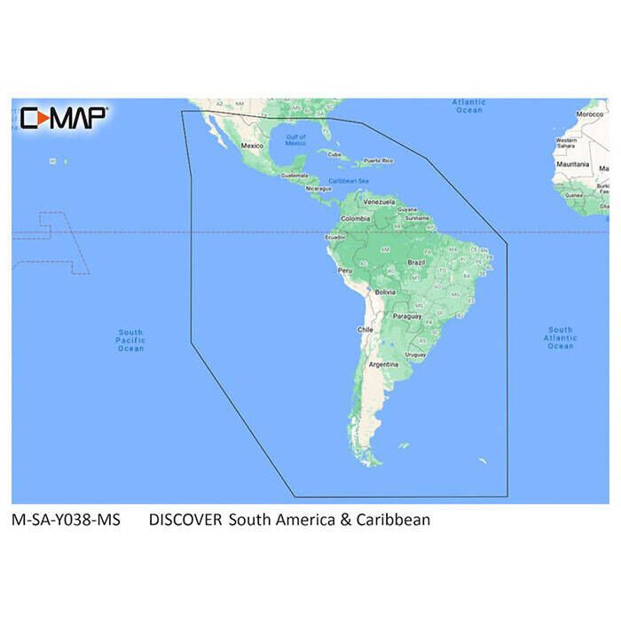
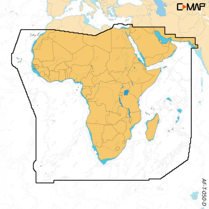
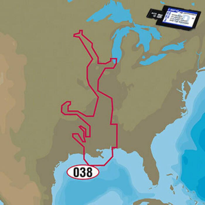
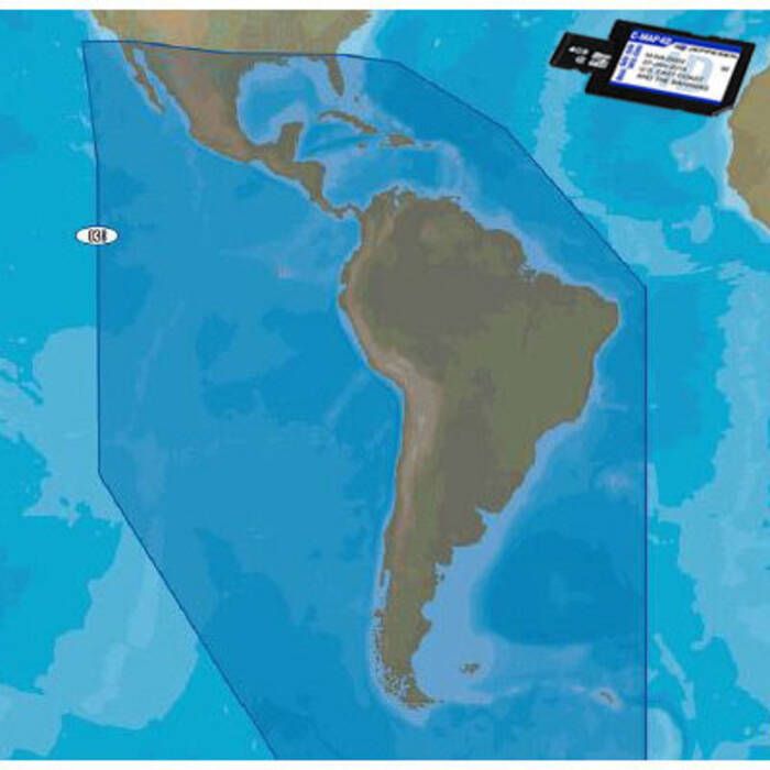
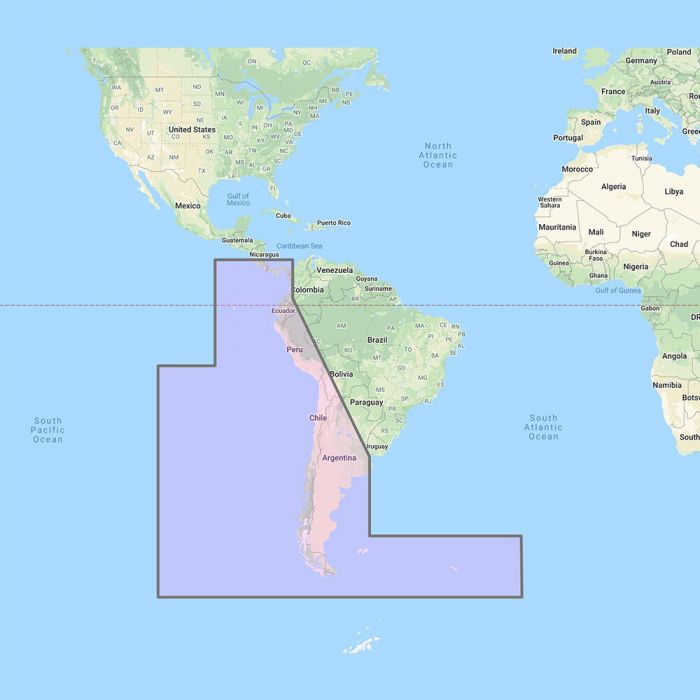
  3. C-Map Discover South America & Caribbean Chart - M-SA-Y038-MS

    $129.00
    3
  4. Furuno C-MAP WIDE Electronic Navigation Charts

    $258.99
    0
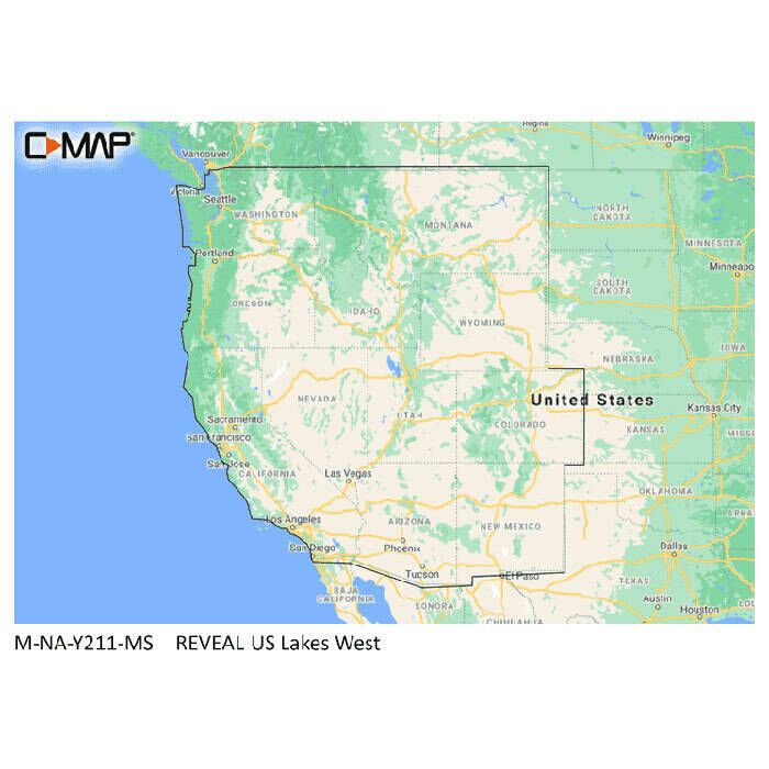
  5. C-Map Reveal X US Lakes Electronic Navigation Chart

    $177.00
  6. C-Map Reveal X Electronic Navigation Chart

    $260.00
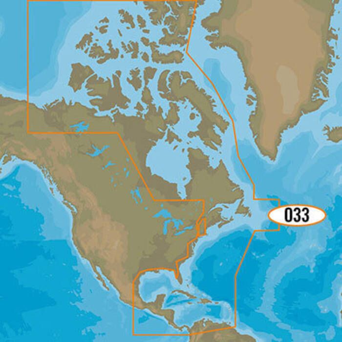
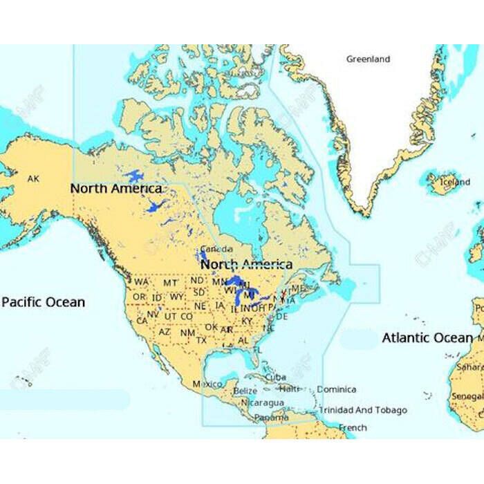
  7. C-Map Discover Charts - North America: USA/Canada - M-NA-Y200-MS

    $129.00
    1
  8. C-Map 4D MAX+ Electronic Chart

    $353.00
    0
  9. C-Map Discover X Electronic Navigation Chart

    $156.00
  10. C-Map 4D MAX+ Lakes Electronic Navigation Chart

    $207.00
    0
  11. 21% off MSRPMSRP (Manufacturer's Suggested Retail Price)

    Set by the manufacturer and displayed for comparison purposes only.

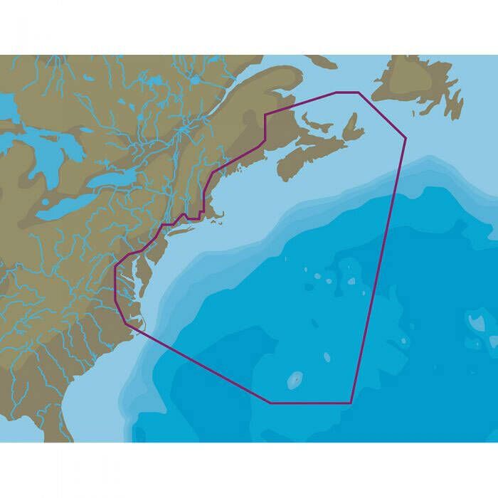
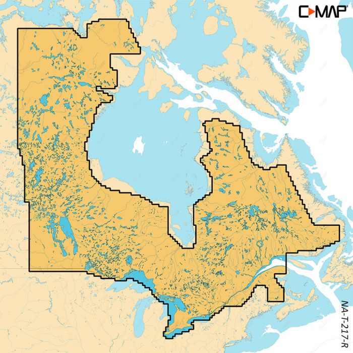
    C-Map 4D MAX+ Local Electronic Navigation Chart - East North America & Bermuda

    MSRP: $207.00
    $161.99 - $207.00
    0
  12. Furuno C-MAP MEGA WIDE Electronic Navigation Charts

    $516.99
    0
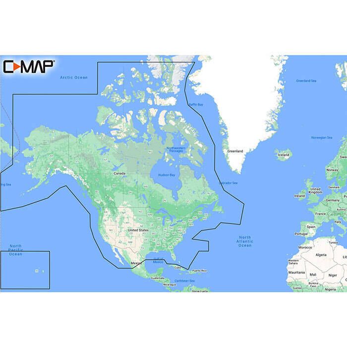
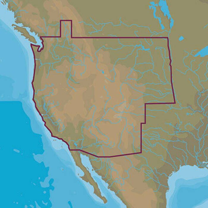
  13. C-Map 4D MAX+ Electronic Continental Chart

    $187.00
    0
  14. C-Map Reveal X Canada Lakes Electronic Navigation Chart

    $177.00
  15. 22% off MSRPMSRP (Manufacturer's Suggested Retail Price)

    Set by the manufacturer and displayed for comparison purposes only.

    C-Map 4D Continental Electronic Navigation Chart

    MSRP: $187.00
    $145.79
    0
  16. 22% off MSRPMSRP (Manufacturer's Suggested Retail Price)

    Set by the manufacturer and displayed for comparison purposes only.

    C-Map MAX 4D Lake Insight HD Electronic Navigation Charts

    MSRP: $187.00
    $144.49 - $187.00
    0
  17. Furuno C-Map Wide Chart - Costa Rica to Chile to Falklands Vector Charts Unlock Code - MM3-VSA-500

    $261.99

About Electronic Charts

Electronic Marine Charts

Navigational electronic charts offer all the information of traditional paper charts plus some really cool features only computers can provide. Chart overlay to enable plotting, GPS interface for real-time positioning, and bathymetric charts to follow the bottom are all optional features of electronic marine charts and electronic navigational charts.

From here to everywhere - electronic marine charts show you the way!

Just like paper charts, electronic marine charts show all the features of ocean and lake coastlines including towns, buoys, and lighthouses. Offshore, navigational harbor channels are shown complete with all markers as well as high and low water data. Out on the fishing grounds, the bottom structure can be overlayed by chart plotter systems and positioning pinpoints fish marks and strikes. And when it comes to getting there, navigational marine electronics charts offer tons of data on how to get as far away as Easter Island, beyond, and back!

Just add tech!

With a click of a button or double-tap on a touch screen, electronic marine charts offer a wealth of information on just about any marker on the chart. Soundings can be changed from meters to feet to fathoms, while the chart scale is adjustable with standard zoom features. Imagine double-clicking navigational dangers or ocean buoys for all the history, weather data, and currents. Just add tech and those paper charts come alive!

Electronic charts are so great but what's the catch?

Well, there's the power source for one! Electronic charts, as good as they are, can sometimes be at odds with the very technology that makes them so much more advanced than paper. Then there are the simple issues - charts are generally hardware-specific although there are a few stand-alone chart packages, zooms are great for up-close examination of electronic charts but over zooming can produce faulty data and electronic navigational charts can be pricey.