

C-Map
C-Map 4D MAX+ Lakes Electronic Navigation Chart
Item: #864105 | Part Number: Not Selected$207.00


Description
The C-MAP 4D MAX+ Lakes Electronic Navigation Chart is designed for serious freshwater boaters, anglers, and hunters who demand detailed, reliable lake navigation. Featuring shaded depth areas, precise bottom contours, and comprehensive points of interest, it helps you navigate, fish, and explore with confidence.
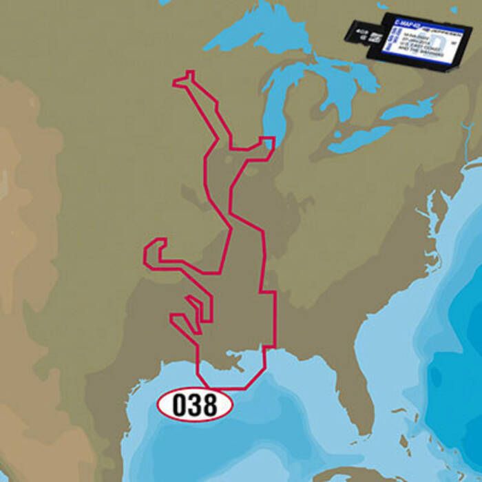
C-Map 4D MAX+ Lakes Electronic Navigation Chart Item # 864105
Description
C-MAP 4D MAX+ LAKES Electronic Navigation Charts are specialty charts developed for freshwater boating, fishing and hunting. They include detailed bottom contours with shaded depth areas.
Features:
- Boat ramps and secondary road / access information
- Coverage of rivers includes mile markers, recommended track for each waterway, bridge photos and diagrams with vertical clearance and horizontal span details
- Points of interest including national parks and recreation areas, campgrounds and lodging facilities
- State fishing and hunting regulations
- Fish and waterfowl identification photos
Specifications:
- Media: Micro SD Card with SD Card Adapter