

This product has been discontinued
Navionics
Navionics + Regions Electronic Navigation Chart
Item: #876002 | Part Number: Not Selected
Navionics + Regions Electronic Navigation Chart Item # 876002
Description
Navionics+® Regions Electronic Navigation Charts are a powerful electronic chart solution that provides exceptional regional marine and lakes content. It includes comprehensive depth contours, tides & currents, port plans and coastal points-of-interest.
Features:
- Allows boaters to enhance charts with collected sonar logs and then upload sonar recordings to share detailed contours with other boaters for the most current and accurate data
- Nautical Chart and SonarChart™ 1 ft. HD bathymetry map are preloaded
- Simply visit "Downloads & Updates" on navionics.com to select and download Community Edits plus daily updates for one year
- 16 GB card and USB reader included
Specifications:
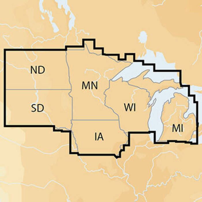
- Coverage Area: Select from USA regions East, North, South, West and Canada
- Media: Select Compact Flash (CF) Card or Micro SD Card with USB Adapter
- Maximum zoom level up to 1/32 nm
Chartplotter Compatibility:
- Check compatibility at navionics.com, which is continuously updated
- When ordering, be sure to enter the make and model number of your chartplotter in the comments field at the bottom of the payment screen when prompted during checkout. If you do not provide this information we will contact you to confirm that the item you have selected is compatible with your chartplotter.
Purchase includes one year of Freshest Data updates to Nautical Chart, SonarChart and Community Edits. Register and start Freshest Data within two months of product purchase.