

This product has been discontinued
Maptech
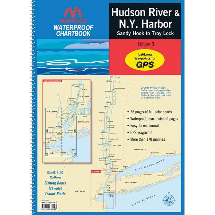
Maptech Waterproof Chartbook - Hudson River & New York Harbor - WPB0350
Item: #874162 | Part Number: WPB0350
Maptech Waterproof Chartbook - Hudson River & New York Harbor - WPB0350 Item # 874162
Description
Ideal for sailors, fishing boats, trawlers and more, this waterproof chartbook provides in-depth, full color charts of Hudson River & New York Harbor on waterproof, tear resistant pages.
Features:
- Covers Hudson River & New York Harbor, including Sandy Hook to Troy Lock
- Designed for easy, in-hand use and built to handle the weather
- Each title covers approximately one-third the area of a full-size version
- Printed on tough, tear-resistant plastic pages that are also totally waterproof
- Compilation of most up-to-date NOAA charts available at press time
- Full-color charts
- Easy-to-use format
- Grids, courses, ramps, and marine facilities
- Offshore, near-shore, and detailed bay and harbor charts
- Pre-plotted courses
- GPS-Ready and easy to use with a GPS
- Major navigation aids are identified with named GPS waypoints
- Each page includes a Compass Rose with annual increase in variation and complete scale information
More Features: (The following appears on most Maptech Waterproof Charts )
- Wreck Sites
- Artificial Reefs
- Anchorages
- Marinas
- Public Boat Launch Locations
- Pump-Out Information
- Historic Sites
- Fish / Dive Sites and Tables
- Key to Fish Species
- Local Gamefish Illustrations
- State Parks
Specifications:
- Coverage area: Hudson River & New York Harbor, including Sandy Hook to Troy Lock
- Edition: 3
- Dimensions: 12" x 17"
- Chart pages: 24
- Spiral Bound
Some information may not be available on all Maptech Waterproof Charts