

Maptech
Maptech Chartbook & Cruising Guide - Lake Erie - LE7
Item: #874177 | Part Number: LE7$116.99


Description
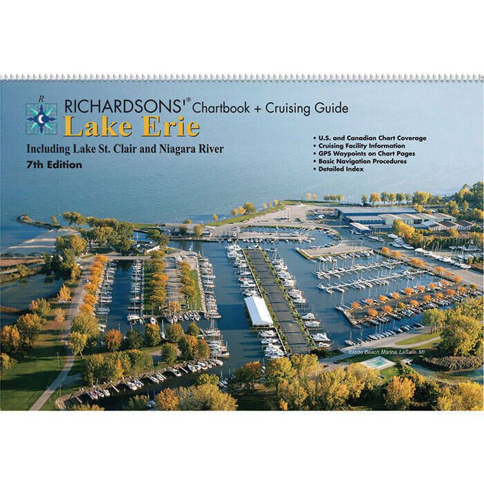
The Maptech Chartbook & Cruising Guide Lake Erie LE7 7th Edition is a waterproof, spiral-bound reference designed for confident navigation and cruising. Featuring full-color charts of Lake Erie and surrounding waterways, it includes GPS waypoints, marine facility info, and aerial harbor photos for easy planning and safe travel.
Maptech Chartbook & Cruising Guide - Lake Erie - LE7 Item # 874177
Description
The Lake Erie, 7th Edition Great Lake Chartbook and Cruising Guide by is a waterproof, spiral-bound book with full-color chart coverage of the Lake Erie, including Lake St. Clair, St. Clair River, Niagara River, Welland Canal, northeast to Niagara, northwest to Sarnia.
Features:
- Complete chart coverage of Lake Erie
- Includes coverage of Lake St. Clair, St. Clair River, Niagara River, Welland Canal, northeast to Niagara, northwest to Sarnia
- Complete Chart Coverage
- Cruising Facility Information (Located on charts)
- GPS Waypoint Labels on Chart Pages
- Detailed Index
- Marine Facilities
- Aerial Harbor Photographs
- Navigational Reference Data
- Additional Lat/Lon Grid Lines on most Harbor Charts
Specifications:
- Area: Lake Erie, Lake St. Clair, St. Clair River, Niagara River, Welland Canal, northeast to Niagara, northwest to Sarnia
- Format: Spiral Bound
- Edition: 7
- Dimensions: 12" x 18"