

Maptech
Maptech Chartbook & Cruising Guide - Lake Superior - LS4
Item: #874143 | Part Number: LS4$92.99

Description
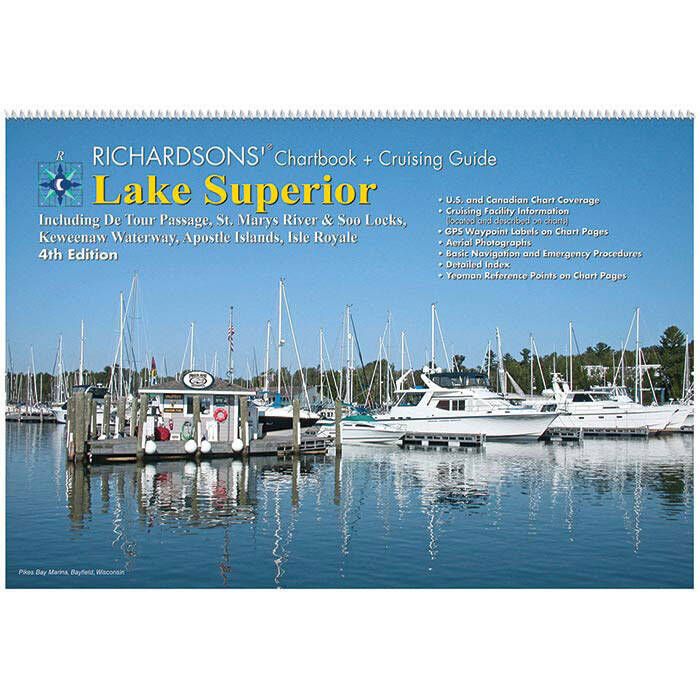
The Maptech Lake Superior Chartbook & Cruising Guide LS4, 4th Edition, is a waterproof, spiral-bound resource designed for safe and confident navigation. Featuring full-color charts of Lake Superior, Keweenaw Waterway, St. Mary's River, Soo Locks, and De Tour Passage, it includes cruising facilities, GPS waypoints, aerial photos, and essential navigation tips.
Maptech Chartbook & Cruising Guide - Lake Superior - LS4 Item # 874143
Description
The Lake Superior, 4th Edition Chartbook and Cruising Guide by Maptech® is a waterproof, spiral-bound book with full-color chart coverage of Lake Superior, including Keweenaw Waterway, St. Mary's River, Soo Locks and De Tour Passage.
Features:
- Complete chart coverage of Lake Superior
- Includes coverage of Keweenaw Waterway, St. Mary's River, Soo Locks and De Tour Passage
- Cruising facility information (located and described on charts)
- GPS waypoint labels on chart pages
- Clear aerial photographs
- Basic navigation and emergency procedures
- Detailed index
- Waterproof, synthetic pages and binding
Specifications:
- Area: Lake Superior, Keweenaw Waterway, St. Mary's River, Soo Locks and De Tour Passage
- Format: Spiral Bound
- Edition: 4
- Dimensions: 12" x 18"