

Maptech Chartbook & Cruising Guide - Hudson River and Adjacent Waterways - HR3
Item: #874140 | Part Number: HR3
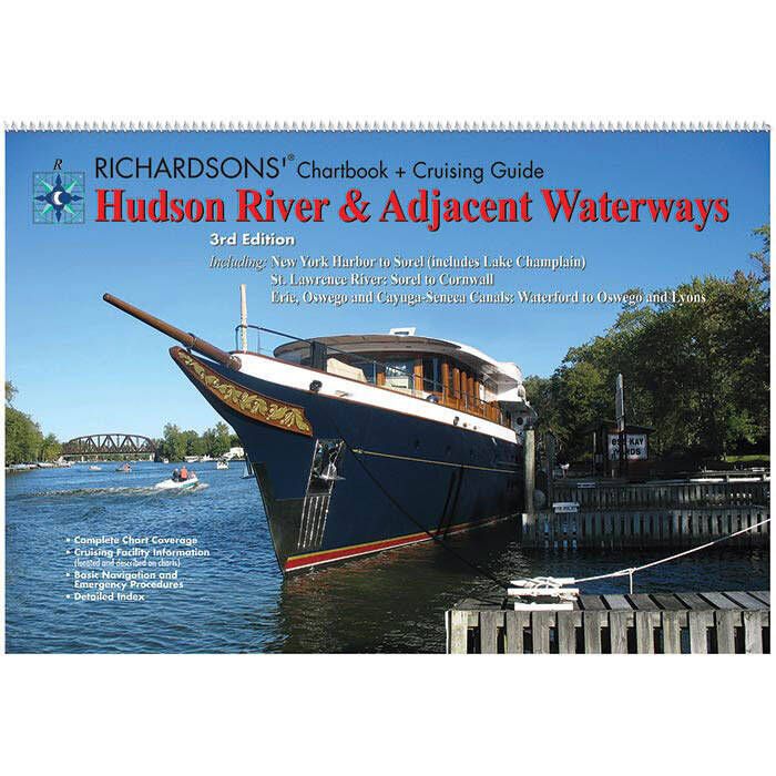
The Maptech Chartbook & Cruising Guide HR3 - Hudson River and Adjacent Waterways 3rd Edition is a waterproof, spiral-bound reference designed for confident cruising. Featuring full-color charts from New York Harbor to Sorel, including Lake Champlain, the St. Lawrence River, and key canals, it provides GPS waypoints, cruising facility info, and clear aerial photos for safe, informed navigation.
Maptech Chartbook & Cruising Guide - Hudson River and Adjacent Waterways - HR3 Item # 874140
Description
The Hudson River & Adjacent Waterways, 3rd Edition Chartbook and Cruising Guide by Maptech® is a waterproof, spiral-bound book with full-color chart coverage of Hudson River & Adjacent Waterways, including New York Harbor to Sorel (includes Lake Champlain), St. Lawrence River, Sorel to Cornwall, Erie and Oswego Canals, Waterford to Oswego and Lyons (includes Cayuga and Seneca Lakes).
Features:
- Complete chart coverage of Hudson River & Adjacent Waterways
- Includes coverage of the New York Harbor to Sorel (includes Lake Champlain), St. Lawrence River, Sorel to Cornwall, Erie and Oswego Canals, Waterford to Oswego and Lyons (includes Cayuga and Seneca Lakes)
- Cruising facility information (located and described on charts)
- GPS waypoint labels on chart pages
- Clear aerial photographs
- Basic navigation and emergency procedures
- Detailed index
- Waterproof, synthetic pages and binding
Specifications:
- Area: Hudson River, New York Harbor to Sorel (includes Lake Champlain), St. Lawrence River, Sorel to Cornwall, Erie and Oswego Canals, Waterford to Oswego and Lyons (includes Cayuga and Seneca Lakes)
- Format: Spiral Bound
- Edition: 3
- Dimensions: 12" x 18"