

Maptech
Maptech Embassy Cruising Guide: New England Coast - 17th Edition - CGNEC-17
Item: #2151741 | Part Number: CGNEC-17
15% off
MSRP: $48.99
$41.64

Description
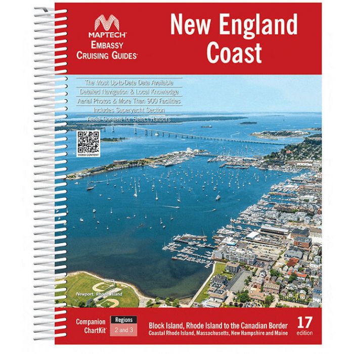
The Maptech Embassy Cruising Guide: New England Coast 17th Edition is an essential companion for cruisers navigating from Block Island to the Canadian border. Packed with detailed marina listings, GPS waypoints, aerial photos, and local navigation tips, it helps you plan and cruise with confidence. Durable spiral binding and clear, user-friendly layouts make it easy to use onboard.
Maptech Embassy Cruising Guide: New England Coast - 17th Edition - CGNEC-17 Item # 2151741
Description
Maptech's Embassy Cruising Guide: New England Coast is the perfect navigation companion when you're planning your trip and underway; covering Block Island, Rhode Island to the Canadian Border.
Features:
- Coverage includes Block Island, Rhode Island to the Canadian Border
- Packed with detailed listings for 900 marinas divided into 15 cruising regions, hundreds of GPS waypoints, full-color aerial photos, local navigation advice, and visitor's tips for popular destinations along the New England Coast
- Crush-proof spiral binding and wrap-around covers are designed for easy page turning and bookmarking
Embassy Guides General Features:
- Packed with marinas, local navigation advice, and aerial photos and hundreds of GPS waypoints
- Aerial Photos and Pictures Bird's-eye Aerial Photos of harbor entrances improve your situational awareness during approaches
- Beautiful pictures highlight local landmarks and the vistas you may see while underway or at anchor
- They're filled with detailed navigation advice and are an enjoyable read
- Maptech offers guides covering the East Coast of the U.S. from Maine to Florida plus the Bahamas and Alabama
- Designed for ease of use
- Find the information you need quickly
- Harbors are indexed by chapters
- Marina and facility locations cross-reference quickly with harbor chart segments
- "Local Knowledge" The writers and editors have traveled everywhere they write about
- Detailed navigation advice will help you approach new harbors as if you're a local
- Complete Marina Information
- Marine facilities tables display key information that allows you to find the "right" facility quickly
- Facility tables are cross-referenced to harbor chart segments so you can locate the facility easily
- Harbor Chart Segments
- Full-color harbor chart segments show marina approaches and display the locations of facilities in relationship to each other
Specifications:
- Area: Block Island, Rhode Island to the Canadian Border
- Format: Spiral Bound
- Edition: 17th