

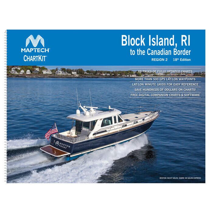
Maptech ChartKit - Block Island, RI to The Canadian Border - 18th Edition - R02-18
Item: #934123 | Part Number: R02-18

The Maptech ChartKit Region 2 - Block Island, RI to The Canadian Border 18th Edition is a smart, economical cruising reference that bundles full-color NOAA chart reproductions into a convenient chartbook format. Pre-plotted waypoints, compass courses, and GPS grids make trip planning and navigation faster and easier, whether as a primary guide or backup at sea.
Maptech ChartKit - Block Island, RI to The Canadian Border - 18th Edition - R02-18 Item # 934123
Description
The Region 2 Maptech ChartKit Block Island Rhode Island to the Canadian Border contains full-color reproductions of NOAA charts bundled together in large cruising regions. This ChartKit contains features that make planning a trip, plotting your course or determining your location a breeze. In addition to the charts, the ChartKit contains pre-plotted waypoints, magnet compass courses and lat/lon grids to use with your GPS.
Features:
- A reliable primary or secondary navigational reference
- Full-color reproductions of NOAA charts bundled together in large cruising regions
- Economical - Save up to 90 percent compared to the cost of purchasing individual paper charts
- Easy to use pre-plotted waypoints and lat/lon grids for your GPS with magnetic courses for your compass
- Fully referenced geographic and alphabetical indexes quickly point you to the right page
- Includes digital chartbook companion charts and software